REAL ESTATE: We can improve the visibility of your business location, sell your client's property with vivid photos and seductive aerial video, and capture any other subject beautifully from the air with multi-altitude still images and video services that will get attention from the clients and customers you are after. Combined with our aerial photographs our affordable aerial videos can increase your company’s exposure as well.
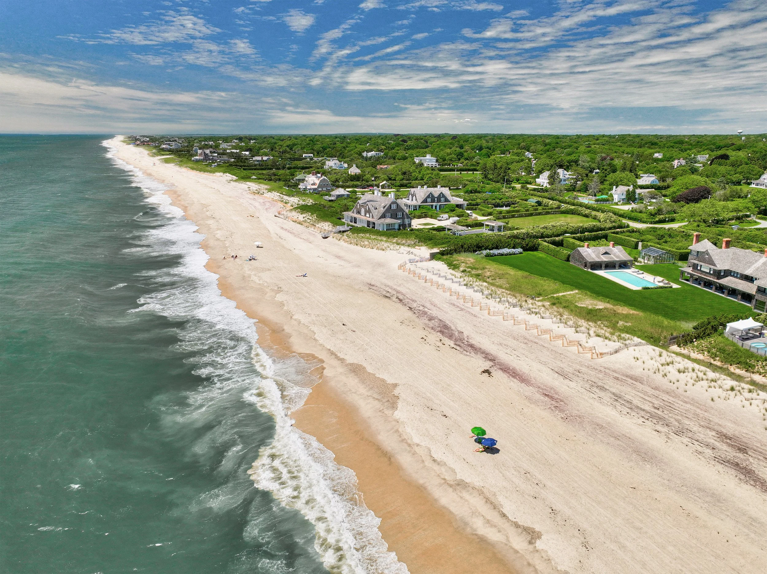
Aerial photographs not only exemplify the beauty of a property but also showcase the fine details that it has to offer and help sell the property by offering a unique overall perspective as opposed to the narrow visual perspective one gets from images of the back yard or driveway; all being bits one needs to piece together to understand the whole and many customers lack the ability to process all of this visual information to gain a comfortable overall perspective. They also offer a geographic understanding of the surroundings such as schools, beaches, golf, shopping, and the area as a whole which adds a great deal of value toward sales and marketing.
CONSTRUCTION: We use advanced 3D imaging software which allows us to create Orthomosaic (full photographic maps), Digital Elevations Models, and 3D maps for Surveyors, Architects, Developers and Builders which include accurate measurements and elevation of structural objects and the terrain adding value and another form of spacial analysis for any professional portfolio. If your worksite requires photos or video at owner request or for your portfolio, we’ve got you covered. We can schedule and provide regular flights to monitor construction progress as well.
AGRICULTURE: We can also offer fixed or variable interval flight schedules for Farms and Vineyards to monitor crop health using orthomosaic and NDVI (Normalized Difference Vegetation Index) imaging. This can save time and money vs. traditional 'walking the field' and quickly identify problem areas needing immediate attention.
Using only the highest quality professional drones and camera gear, there's no job to big or to small for us. We look forward to taking to the skies to capture your vision for you.
